
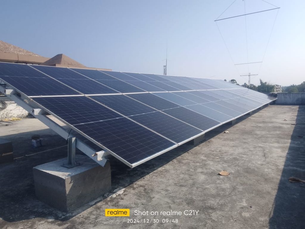

Overview: Large-scale solar and wind projects require regular inspection and maintenance to ensure optimum performance. Our drone-based surveys leverage cutting-edge aerial and thermal imaging technology to deliver faster, safer, and more accurate assessments.
Ideal for:
Key Features:
High-Resolution Aerial Surveys: Drones equipped with HD and multispectral cameras capture detailed images of large solar and wind installations, identifying surface anomalies and structural defects.
Thermal Imaging for Solar PV: Detect hotspots, shading losses, and defective modules with advanced thermal cameras to prevent generation loss.
Blade Inspection for Wind Turbines: Aerial drones capture blade integrity, erosion, and misalignments, eliminating the need for manual or rope-based inspections.
AI-Powered Diagnostics: Machine learning algorithms process image data to provide insights on performance degradation and suggest preventive actions.
Digital Twin Integration: Create a digital replica of your plant for ongoing health tracking, simulations, and long-term asset management.